Über
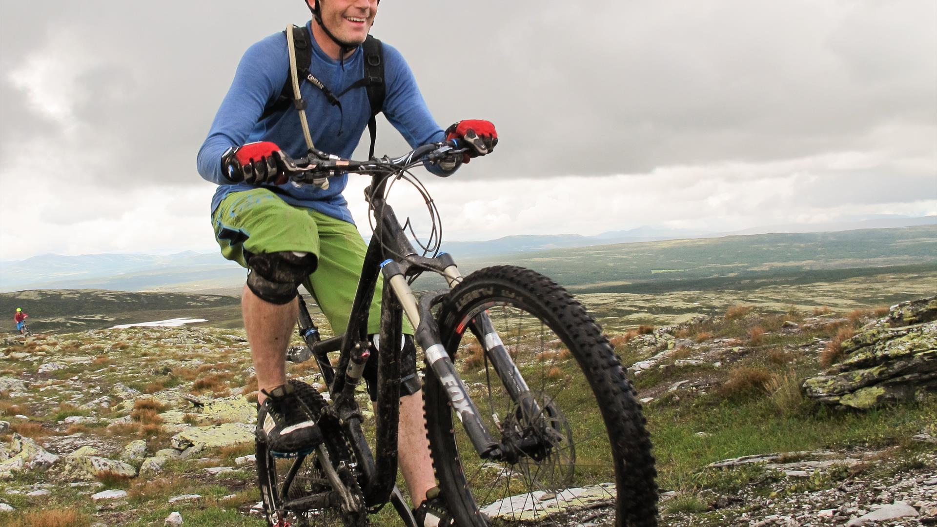
Spectacular two-hour round-trip along a fast flowing single-track route, with optional exhilarating descents. Excellent ride in either direction. A trip to the top of Dørdalsknappan is recommended for some adrenaline-fuelled downhill action.
By bike or pre-booked transport, follow the Peer Gynt Route for 8 km to the car park by the power line in Dørdalen. Ride up the trail running underneath the power line. Turn left at the top, and continue with lake Skjellbreia on your right. When you reach lake Storrøgna, turn right across the stream and follow the way-marked (T) Peer Gynt Trail on the southern side of the lake. As you reach the trail junction by the small cabin, turn left. Ride up and across the hill by the cabin, along the eastern side of lake Storrøgna and then to the foot of Gråkampen where the trail forks. Continue to the top, or turn left.
After an excellent downhill segment, turn right across a small valley. Follow the trail around the Røgnmyrin marshes. As you start the climb after the marshes, keep right on the main trail. (Alternatively, ride along the ridge, and turn right as you reach the top.)
After another exciting descent, take a sharp left at the bottom and continue across the field. Turn right at the junction, and follow the Peer Gynt Trail back to the road. (Alternatively, turn left onto the Peer Gynt Route, and follow the signs for the vantage point. As you reach the car park, continue on the trail leading to the top of Dørdalsknappan. You will then have two exhilarating descents to choose from: along the ridge down to Svellesetra, or straight down towards Hovesetra).
Turn right as you reach the Peer Gynt Route. At the first crossroads, turn left and continue past Ånekresetra to Hovesetra. Then take the trail leading east, and follow the route used for Bukkerittet MTB race back across the hill and down to the car park.
(Source: Kippernes, Kristoffer. Stisykling i Norge, 2014).
Signposted "S3 Knutsholoa" (hiking map) from Skeikampen Velkomstsenter. 8.9 km or 10.9 km depending on route taken.
Einrichtungen
Abstand
- Länge in km - 17,7 km
Allgemeine Einrichtungen
- freies Parken
Altersgrenze
- für Erwachsene
Dauer
- 2 Stunden
Einstufung
- Farblich markierte Wanderwege (Schwierigkeitsgrad)
- nicht markiert
- anspruchsvolle
Natur und Landschaft
- bergiges Terrain
- Gesamtaufstieg - 362 m
- Kies
- kleinen Pfad
- Kulturlandschaft
- Wald
- Weg
Saison
- June - October
Sportaktivitäten
- nicht beleuchtet Spur
.png)
.png)


